- Project Leader : Shimamura Tetsuya (Faculty of Agriculture, Ehime University)
- Collaborators : Ichikawa Masahiro (Faculty of Agriculture, Kochi University)
- : Kozan Osamu (Center for Southeast Asian Studies, Kyoto
University) - : Ito Masayuki (Center for Southeast Asian Studies, Kyoto University)
Outline of Research
The objective of the study is to reconsider the land and resource management and rehabilitation of landscapes in the tropics by referring to the rehabilitation and succession of the landscape around Mt. Merapi, which erupted in 2010. Land allocation, land management and successions after the disturbance will be monitored in four types of landscape: 1) the core zone of Mt. Merapi National Park, 2) the buffer zone of the national park where restricted activity of local people is allowed, 3) farmlands of the slope and 4) home gardens managed by local people. By comparing the land management of these areas, this research aims to clarify how local people have managed in the aftermath of the disaster.
Description
The objective of the present study is to reconsider the land and resource management and rehabilitation of the landscape in the tropics by monitoring primary succession and rehabilitation of the landscape. On the slopes of Mt. Merapi, there are four kinds of land use: 1) the core zone of Mt. Merapi National Park where natural succession is expected, 2) the buffer zone of the national park where restricted activity of local people is allowed, 3) farmlands of the slope and 4) home gardens of the people. These landscapes were severely damaged by the eruption of Mt. Merapi in 2010. In the present study, we will monitor the rehabilitation processes of the landscapes by investigating land management, land use, local custom and regulations, biogeochemical cycles and forest succession. The results will be integrated to clarify the rehabilitation process and applied to propose a better resource management system.
Mount Merapi is an active strato-volcano located on the border between Central Java and Yogyakarta, Indonesia. It is the most active volcano in Indonesia and has erupted a regular intervals of four or five year. However, the local people have achieved landscape recovery even if there have been repeated disasters. In this sense, the natural resource management of Mt. Merapi can be regarded as a system that overcomes severe, cyclical disasters. The system should have important implications to achieve sustainable environmental management in both technical and social domains.
This present study regards the recovery processes of Mt. Merapi as a resource management system which is robust in the face of intensive disturbance. The outcome of this study is expected to provide new knowledge which can propose a novel natural resource management system.
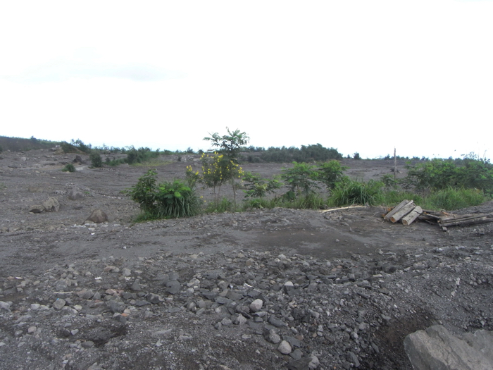 Aftermath of debrits flow. There has a village under the ground surface. |
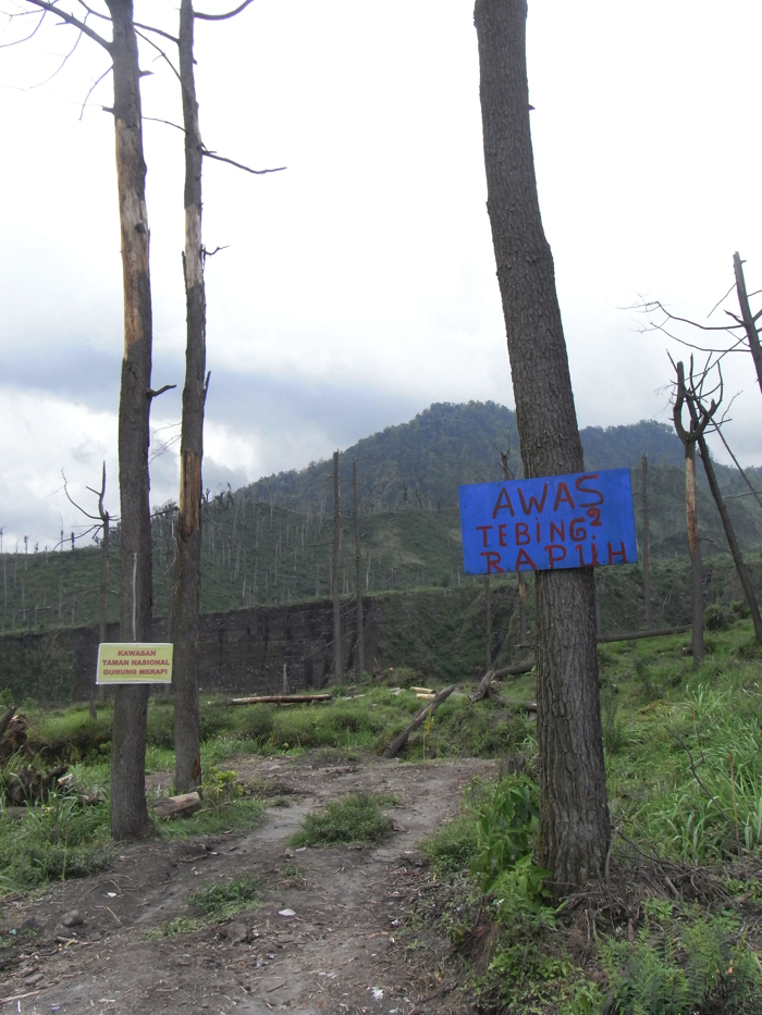 Stand off trees by heat clouds produced by the eruption. |
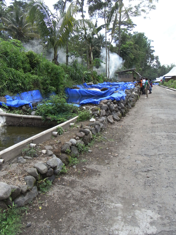 Fish-raising ponds in a evacuation village. |